Black Enclaves in Oklahoma City: Exhibit
Black Enclaves in Oklahoma City: Exhibit
Judie Matthews, Special Collections Librarian
All through the month of February 2025 Special Collections and Research presents the exhibit Black Enclaves in Oklahoma City in the Philomathea Hall at the Downtown Library. The exhibit is available all hours the library is open.
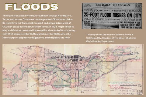
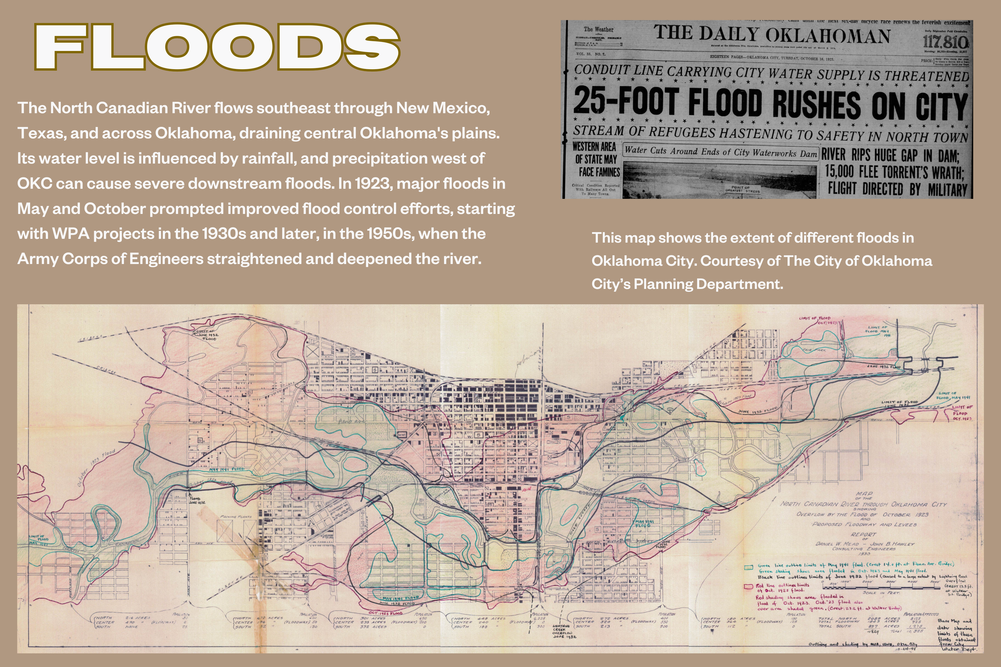
Oklahoma City was built around the North Canadian River from its earliest days. The river in 1900 looked very different from the channeled path it takes today. The river twisted around, taking the path of least resistance across the terrain. It was dense with vegetation and wildlife, routinely stunk, and often flooded. The posters in this exhibit show the original path of the river overlaid on today's street grid.
Let's learn more about how these Black enclaves grew in these areas and what happened to them over time.
West Town, South Town, and Walnut Grove share a similar story. The most centrally located enclaves, they originally were mixed-race residential neighborhoods for the working class. South Town in particular was large, and had vibrant Black, Czech and Hispanic communities. All these enclaves had housing, churches, stores, restaurants, and even factories. The areas also had multiple elementary schools to accommodate white and Black students during segregation. The North Canadian River encroached on them at several points, and channeling the river changes the grid and feel of these neighborhoods dramatically.
By the 1930s, 92% of Oklahoma City's Black population lived in 112 contiguous blocks between Lincoln Boulevard and Eastern
Avenue and NE 1st to 8th streets. An area called Fairgrounds (because it was near the site of the original State Fair) was the most eastern neighborhood. When the State Fairgrounds moved to the west side of the city, the historically Black high school Douglass moved to this location. It remains at this location today.
We hope you can see this vibrant exhibit in the Downtown Library but if you are unable to make it, please download the PDF below which includes all the panels from the exhibit. We've also included a flood plain map to further illuminate the exhibit.
Visit our website or contact us at special.collections@metrolibrary.org to learn more.